| Trails at Whitehall Reservoir |
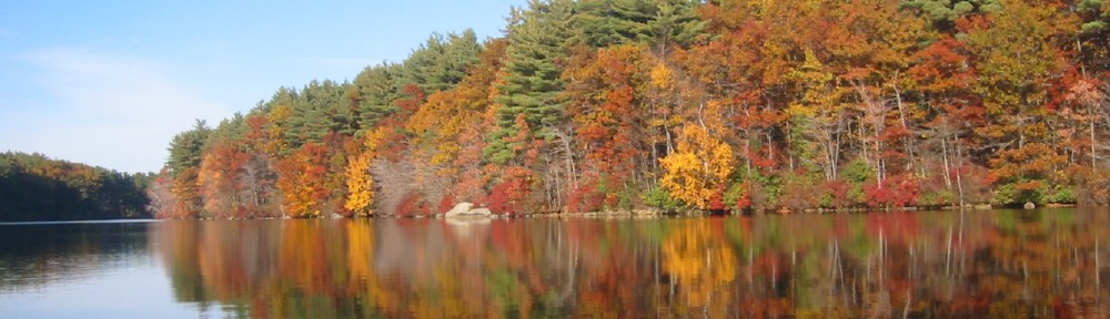
| Whitehall Reservoir offers excellent hiking, biking, and riding opportunities on the trail that winds all the way around the lake, but it is a good six-mile trek to do the whole thing. The main trail around the lake is approximately six miles long. It is currently open to hikers, horses, and non-motorized bikes. The trail is mainly a narrow walking trail so only a dedicated mountain biker should look to that route. Everyone still has to share the same trail though, so please remember to be courteous to your fellow travelers. More casual bikers, or anyone with a road bike should stick to the scenic roadways around the lake – Wood Street on the north edge by the boat ramp; Spring Street down the west edge; Pond Street across the southern end; and Winter Street back up along the east side of the lake. Also, there are no water fountains or trash containers around the lake, so bring lots of water, and maybe some snacks, but also remember to bring your own trash bag to pack out what you pack in.The best places to start a hike at the north end of the lake is at the boat launch off route 135 which has ample parking, or at Reed Park which is west of the dam on Highland Street (off of Winter or Exchange Streets off of route 135). It is a nice quiet park with a field and tennis courts tucked back in the woods.The best place to start a hike at the south end of the lake is near the little bridge where Pond Street crosses over the southernmost tip of the lake. There are only a few pull-offs here at which to park, however.You can download a large (968k PDF) or small (300k GIF) topo map of the lake area. A specific trail map is not currently available, but the trail is marked by blue-triangle blazes, and typically stays within 50′ of the lake shore (the default boundary of the state park).
For additional information about the trails at Whitehall State Park and some beautiful photos of the park, click here to go to the Alltrails.com website. Whitehall Conservation area trails Poison ivy does grow rampant around the lake, so you may want to wear long pants when hiking. |
Friends of Whitehall
Preserving the past, protecting the future…